11/14 – 11/18/13
58 miles
Southbound
Mileage driven 265
Poodle Dog Paranoia, Lost Hats,
Uninspired Graffiti & Naked People
I approached this hike with a bit of trepidation. Since she had just finished her last round of chemo, I was a little concerned about Patti’s endurance. We had mapped out a 70-mile route but, at the last bit of the planning stage, I insisted we back off and do only 60-miles. Other reasons for my caution were the forecast that called for 20 to 30-degree nights, and my concern over carrying the necessary water to get through some dry sections.
All of those concerns, and any others not mentioned, proved to be unnecessary. We both felt great physically and emotionally. The weather held out and the cold was not as bad as we feared. In the end we had likely our best and most rewarding segment yet.
We started with a hike-in to the trail head, south of, but near Gobbler’s Knob, on Lyttle Creek Road. Anita, our sister-in-law and chauffeur for the day, was generous enough to pick us up at Splinter’s Cabin to the south at Lake Arrowhead, and dropped us off about 2/3rds of a mile in from the highway and about two miles away from the trail head.

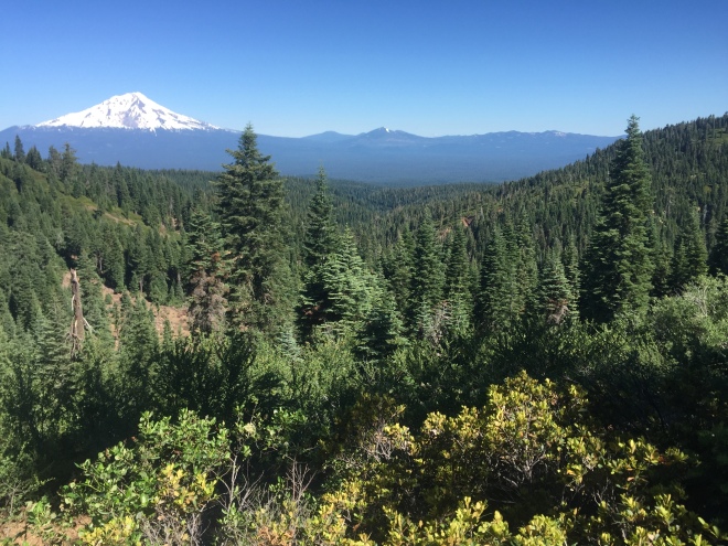
The plan was to complete 58-miles in six days. We managed to complete the entire section in just five days. The route was quite easy, relative to some earlier sections. We started at 8300 feet descending to altitudes ranging between 3000-4000 feet. Shifts were gradual and easy.
We read in advance about Poodle Dog Bush, a poisonous plant which seeds are activated by fire. The 2009 Station Fire created this year’s high risk conditions in this segment. Concentrations of the bush were reported right on the trail. The seeds lay dormant deep inside the soil and then when it feels the heat of fire, it replants and pushes up Poodle Dog. This is a southern California phenomenon and is largely rare without proper conditions. It just happened that we did see some Poodle Dog when we first got on the trail that lasted about two miles. We were prepared to avoid it by having gloves and by covering everything up. We added hydrocortisone cream to our first aid kit, just in case.
One real bummer on this trip turned into a bit of irony and fun in the end. I noticed as we got to the trail start that my hat wasn’t on my head. I was certain it was gone for good because I recalled putting it on right before helping Patti get her pack on and that’s the last I knew of it. Then, the next day, I see Patti searching through all her stuff and mumbling about a hat. Turns out her “Tis Herself” green hat with the shamrock was nowhere to be found. At least Patti now has hair to cover her head. More than I can say. I was a little concerned about sunburn. Luckily, I had my bandana and wore it like a survivor buff. It worked well. Patti said it made me look bad ass. I think the picture below proves it to be more like: Bad – an ass.


The missing hat, in case you’re looking for it.
Anyway, turns out my hat spent the week in Anita’s back seat and I will be getting it back. Patti’s Irish luck is missing along with her hat. Hopefully, someone will find it and enjoy it.

We felt like true members of the PCT hiking community when we stopped and ate at thru-hiker milestone, McDonald’s at Cajon Pass. While we aren’t thru-hikers the food and the “McCafe” coffee was somehow oddly delicious. We think they made it all special just for us.

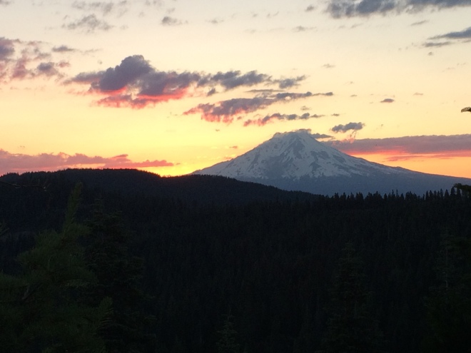
We lucked out with the weather. We knew to expect cold nights. That did happen, though not as low as we feared. On the second day, it looked like we might be getting some rain. However, we hiked out of the cloudy conditions and the day ended with sun overhead.


We noticed graffiti through much of the 58-mile stretch. It seemed to us that it was done mostly by one tagger but we couldn’t be sure. It was annoying. We also found a little bit of trash and a few cigarette butts. We haven’t seen a lot of this on any of the trail since we began in Campo. We were a little surprised and disappointed. Other than that, however, the trail all the way was in excellent condition.

Seriously, is this what we want to see?
On our fourth day, we looked forward to Deep Creek Hot Springs. When we first approached the area we were “greeted” with a “boo!” There stood a 60’s-something, velour robe-wearing, barefoot, drunk guy who, we could tell, decided on his own that he was the Patriarch of the Pools. He did surprise Patti. He cracked himself up when he admitted he had never done that before. The seriously disturbing problem was that we also read this is a clothing-optional gig and that what was under the velour was likely no underwear. I was grateful for “Robe’s” fatherly guidance when he mentioned the Rangers only swing around in their helicopter once a night and that they usually leave “us” alone as he pointed out other cowboy campers in the area. It kind of looked like a homeless encampment. He also showed us the water source and the pools. The place was kind of hippy. Those there wanted to be away. One naked guy jumped into the pool of hot water and said his trail name was Raithe. Patti asked about that and he said he wasn’t afraid of shadows. Neither of us knew what that meant but we went with it. I was thinking if only he knew Patti’s trail name is Glow in the Dark.
We previously ended a hike at Lake Arrowhead where the Deep Creek Bridge carries the PCT through the region just east of the lake. By starting this section from the north near Gobbler’s Knob and connecting the dots to Lake Arrowhead, we have now completed the entire distance from Campo to Gobbler’s Knob, 356 miles in total, minus just 27-miles closed currently due to the recent Mountain Fire. We’ll have to finish that small portion near Palm Springs, sometime later.
A brief update on our use of technology: We replaced our solar recharger with a new GoalZero system. Patti is not convinced that it worked well. But I believe it will work perfectly once we get better at using it. We’ll report more as we learn.
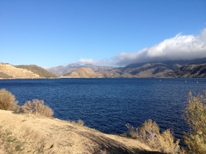
Silverwood Lake
Lynn


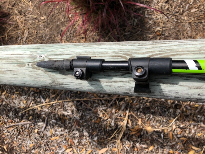 The handles/grips are comfortable, made of a hard rubber. I find myself just cupping my hands over the top of the handles just as often as I use the formal grips. Comfort all around. There’s ventilation holes and my hands do not feel sweaty.